Global positioning systems, also known as GPS, are satellite-based navigation networks that provide time and location information anywhere on earth to a corresponding GPS receiver. GPS plays a vital role in real-time asset tracking, which is used here at Hapn to send instant location alerts to your phone, tablet, or computer. With such advanced GPS technology available at our fingertips, you may be wondering—where did it all begin, and what is the history of GPS?
When was GPS invented? The U.S. Department of Defense began developing GPS in the 1960s to track military submarines. The first satellites launched in 1978, and GPS became available for civilian use on May 1, 2000, when President Clinton ended the Selective Availability program.
Here is a breakdown of how GPS made its way from the military world to that of enterprises and individuals alike.
About Hapn
Hapn is a full-stack GPS fleet and asset tracking platform for midmarket and enterprise companies, providing equipment telematics, vehicle tracking, AI dash cameras, and battery-powered asset monitoring on a single dashboard — with transparent pricing and no long-term contracts.
The History of GPS: Its Development & Launch
GPS first came on the scene in the early 1960s in the United States as a form of satellite navigation experiments to monitor submarines carrying military missiles. Proven to be a success, the satellites were able to provide a pinpoint location of the submarines in a matter of minutes.
In 1978, the Department of Defense decided to take the technology a step further by launching a new network of 24 satellites to support a more advanced navigation system.
For almost twenty years, GPS was only available to the military, due to a program called Selective Availability. Selective Availability meant the United States was able to selectively deny access to the GPS system due to national security concerns. However, in May of 2000, as directed by President Bill Clinton, the United States government decided to discontinue its use of Selective Availability in order to provide GPS for civil and commercial users worldwide.
GPS is still fully owned and operated by the United States government as a national resource for navigation, but can be used by the public for tracking and data information as they see fit.
China launched its own GPS satellite system, BeiDou, in May of 2020. Upon deployment, this system began rivaling Russia's new satellite system, GLONASS, which was launched in December of 2019.
GPS in Today's World
In the present day, GPS is used for a variety of purposes, including:
- Flight trafficking
- Automotive navigation
- Weather and science applications
- And computer and mobile telematics.
Many different businesses benefit from GPS, including:
- Construction companies
- Taxi services
- Car dealerships
- Moving services
- Cleaning companies
- Landscaping businesses
- And many more
These businesses leverage GPS technology to help monitor fleets and employees and to optimize time, money, and energy. Individuals also utilize GPS for recovering stolen property and tracking valuable assets and vehicles.
GPS III: The Current Generation
GPS III satellites began launching in 2018, with the constellation reaching operational capability in 2023. These satellites provide significant improvements over previous generations:
- 3x better accuracy in dense urban environments
- 8x improved anti-jamming capabilities for military and critical infrastructure
- Longer operational lifespan (15 years vs. 12 years for older satellites)
For fleet managers and equipment tracking solutions, GPS III means more reliable positioning in challenging environments—parking garages, dense job sites, and urban canyons where older GPS struggled.
The next frontier is multi-constellation tracking, where devices simultaneously use GPS (U.S.), GLONASS (Russia), Galileo (EU), and BeiDou (China) to achieve sub-meter accuracy. Modern telematics hardware, including Hapn's trackers, already leverages multiple constellations for improved reliability.
How Hapn Uses GPS Technology
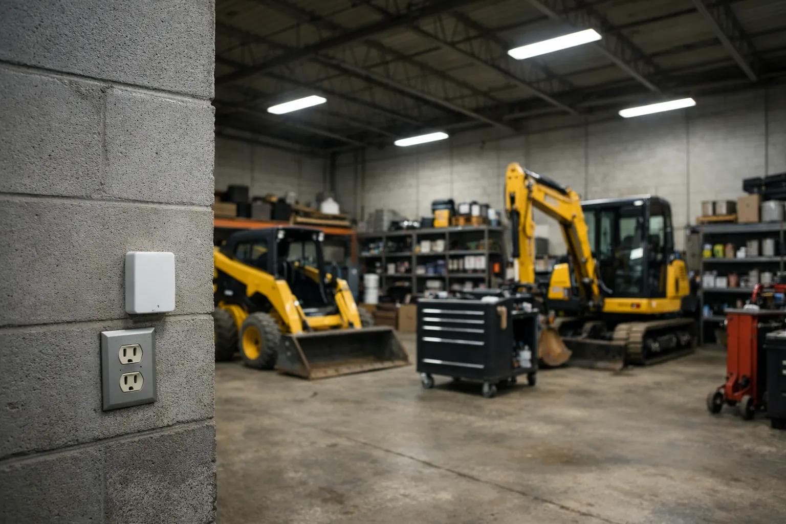
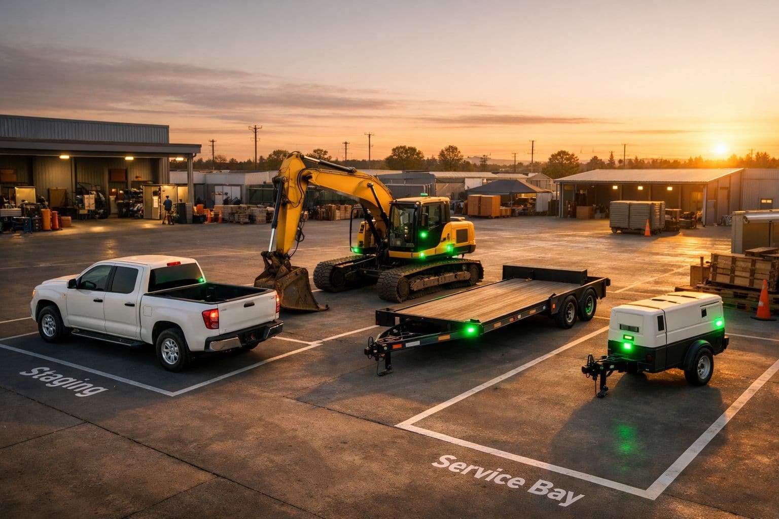
GPS has evolved from tracking submarines to tracking everything that matters to your business. At Hapn, we combine GPS positioning with cellular connectivity to provide real-time visibility across your entire fleet tracking platform—vehicles, equipment, and assets.
Key capabilities built on modern GPS technology include:
- Real-time location updates pushed to your phone, tablet, or desktop
- Geofencing alerts that notify you when assets enter or leave defined areas (learn more in our Geofencing Go-To Guide)
- Historical route playback for compliance, billing, and dispute resolution
- Multi-device monitoring to see your entire fleet on a single map
Whether you're managing a construction fleet, rental equipment, or service vehicles, GPS is the foundation that makes it all possible.
To meet with a GPS expert on your unique business needs around asset tracking, schedule a consultation to learn more.