Last updated: February 2026
Key Takeaways
- GPS uses 30+ satellites orbiting at approximately 20,200 km (12,550 miles) to provide positioning data to any compatible receiver on Earth, free of charge.
- Modern dual-frequency GPS receivers (L1 + L5) achieve accuracy of approximately 3 meters (10 feet), compared to 15 meters with older single-frequency devices.
- GPS became fully available to civilians in May 2000 when President Clinton ended the "Selective Availability" program that had intentionally degraded accuracy for non-military users.
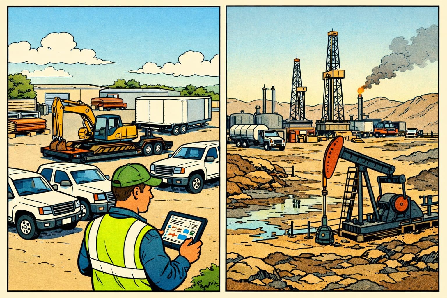
- Commercial GPS tracking — used by over 50,000 Hapn customers across 50+ industries — combines GPS positioning with cellular data transmission to provide real-time location and diagnostics for vehicles, equipment, and assets.
- GPS does not require Wi-Fi or cellular data to determine a position, but most tracking and navigation applications need a data connection to transmit that position or display maps.
GPS — the Global Positioning System — is a satellite-based navigation network owned by the U.S. government and freely accessible to anyone with a compatible receiver. It works by using signals from at least four of the 30+ satellites orbiting Earth to calculate a receiver's exact position through a process called trilateration. The system is accurate to within about 3 meters with modern devices, and it powers everything from smartphone navigation to heavy equipment tracking on construction sites.
Below, we answer the most common questions about how GPS works, who owns it, and how businesses use it to track fleets, assets, and equipment in real time.
What Does GPS Stand For?
What is GPS?
GPS stands for Global Positioning System. It is a satellite-based radio navigation system owned by the U.S. government that provides geolocation and time information to any GPS receiver anywhere on or near Earth, as long as it has an unobstructed line of sight to four or more GPS satellites.
The technology was developed based on satellite navigation experiments conducted by the U.S. military in the 1960s. In 1978, the U.S. Department of Defense launched the first NAVSTAR GPS satellite, beginning what would become the most widely used positioning system in history. The system was initially restricted to military use, but a pivotal incident in 1983 — the Soviet Union's downing of Korean Air Lines Flight 007 after the passenger jet strayed off course — prompted President Reagan to announce that GPS would be made available for civilian use.
A program called "Selective Availability" deliberately degraded civilian GPS accuracy until May 1, 2000, when President Clinton ended the restriction. That single policy change unlocked the modern GPS economy: turn-by-turn driving directions, ride-sharing apps, package tracking, precision agriculture, and commercial fleet and asset tracking all became possible at scale.
Who Invented GPS?
The invention of GPS is credited to four key contributors. Roger L. Easton, a scientist at the Naval Research Laboratory, created the Naval Space Surveillance System — a precursor technology that proved satellites could be used for precise timing and positioning. Ivan A. Getting, the founding president of The Aerospace Corporation, advocated for a system of satellites capable of tracking rapidly moving vehicles. Bradford Parkinson, an Air Force colonel, managed the NAVSTAR GPS program and is widely credited with combining these existing discoveries into a functioning system.
Dr. Gladys West's contributions are equally critical. As a mathematician at the Naval Weapons Laboratory, she developed the mathematical models that accounted for the Earth's shape and gravitational variations — calculations that made it possible to determine the exact orbital positions of satellites and ensure GPS accuracy. Without her geodetic computations, the system could not have achieved the precision it delivers today.
How Does GPS Work?
GPS works through a process called trilateration: calculating a receiver's position by measuring its distance from three or more satellites whose positions are known. Each of the 30+ GPS satellites orbiting Earth at approximately 20,200 km continuously broadcasts a unique signal that includes two pieces of information — the satellite's precise location and the exact time the signal was sent (measured by onboard atomic clocks accurate to within nanoseconds).
A GPS receiver on the ground picks up these signals and calculates the time each one took to arrive. Since radio signals travel at the speed of light, the receiver can compute its distance from each satellite. One satellite narrows the receiver's possible location to a sphere around that satellite. A second satellite narrows it to the intersection of two spheres (a circle). A third satellite provides enough data for trilateration — pinpointing the receiver's latitude and longitude. A fourth satellite adds altitude data and corrects for timing errors in the receiver's less-precise internal clock.
As the Federal Aviation Administration explains in its GPS overview, receivers "determine their location by computing the difference between the time that a signal is sent and the time it is received." This process happens continuously and nearly instantaneously — your smartphone or GPS tracker recalculates its position multiple times per second.
How Accurate Is GPS?
GPS accuracy depends on the receiver quality, the number of satellites in view, atmospheric conditions, and signal obstruction from buildings or terrain. Under typical conditions, most civilian GPS receivers achieve accuracy of about 15 meters (49 feet) using the original L1 frequency. Newer dual-frequency receivers that use both L1 and L5 bands achieve approximately 3 meters (10 feet) or better.
Augmentation systems can further improve accuracy. WAAS (Wide Area Augmentation System), a network of ground stations and satellites covering most of North America, pushes accuracy to within about 1 meter. Specialized Real-Time Kinematic (RTK) systems used in surveying and precision agriculture achieve centimeter-level accuracy, though these require additional infrastructure.
For commercial GPS tracking applications — like monitoring a fleet of excavators across construction job sites — standard accuracy of 3-15 meters is more than sufficient to determine which site an asset is on, whether it's moving, and when it crosses a geofence boundary.
How Do GPS Trackers Work?
What is a GPS Tracker?
A GPS tracker is a device that combines a GPS receiver (to determine its position) with a cellular or satellite data transmitter (to send that position to a remote server or platform). Unlike standalone GPS receivers such as handheld hiking units, trackers are designed to report their location to someone else — a fleet manager, a dispatch team, or an automated system.
GPS trackers fall into two broad categories. Passive trackers (data loggers) store location data internally and require physical retrieval to download the information. Active trackers transmit location data in real time or at set intervals over a cellular network. Active tracking is the standard for modern fleet and asset management because it enables live monitoring, instant alerts, and historical reporting from a centralized dashboard.
Commercial GPS trackers go well beyond simple location pings. Devices like Hapn's hardwired equipment trackers connect to a machine's electrical system and can report engine hours, ignition status, diagnostic codes (via CAN bus), battery voltage, and more. Battery-powered asset trackers provide location data for unpowered assets like trailers, containers, and tool storage units without needing a wired connection.
This combination of GPS positioning and telematics data is what makes modern fleet tracking valuable — it's not just about where something is, but how it's being used, whether it needs maintenance, and if it's operating within expected parameters.
See GPS Tracking in Action
Hapn monitors 463,000+ assets across 50+ industries. See how real-time GPS tracking works for your fleet — no contracts, transparent pricing.
Get Pricing →Who Owns and Operates the GPS Satellites?
GPS is owned by the United States government and operated by the U.S. Space Force (formerly the responsibility of the U.S. Air Force). The system is funded by U.S. taxpayers but available at no cost to any user worldwide — military or civilian, domestic or international.
The U.S. maintains the GPS constellation as a public utility, but several other countries operate their own satellite navigation systems. The European Union operates Galileo, Russia operates GLONASS, China operates BeiDou, and India operates NavIC (regional coverage). Japan's QZSS augments GPS over the Asia-Pacific region. Many modern GPS receivers can use signals from multiple constellations simultaneously, improving accuracy and reliability — particularly in urban environments where tall buildings block satellite signals.
Is GPS Free to Use?
Yes. GPS signals are broadcast freely and no license, fee, or subscription is required to receive them. Any device with a compatible GPS receiver chip can determine its position using GPS satellites at no charge.
However, applications and services built on top of GPS may carry costs. Map data, real-time traffic updates, voice-guided navigation, and commercial GPS tracking platforms all require infrastructure beyond the GPS signal itself. For example, a GPS tracker needs a cellular data plan to transmit its location to a monitoring platform. These costs are charged by the device or service provider, not by the GPS system.
For businesses evaluating GPS tracking solutions, the key cost consideration isn't the GPS signal — it's the device hardware, the cellular data connection, the software platform, and the support behind it. Hapn offers transparent, no-contract pricing that includes the platform, cellular connectivity, and support in one predictable cost.
Does GPS Work Without Wi-Fi or Cellular Data?
GPS itself does not require Wi-Fi or cellular data to function. The receiver communicates directly with satellites using radio signals. This is why GPS works in remote areas with no cell coverage — hikers, surveyors, and military operators rely on GPS in locations far from any cell tower.
The distinction matters: GPS determines your position. Cellular data or Wi-Fi transmits that position elsewhere or displays it on a map. A GPS receiver with no data connection can still calculate its exact latitude, longitude, and altitude. It just can't share that information or overlay it on a visual map unless the maps are stored locally on the device.
For commercial GPS trackers used in equipment rental and fleet management, cellular connectivity is essential because the entire value proposition is remote monitoring — seeing where your assets are from a dashboard, not from the asset itself. Hapn's trackers use cellular networks to transmit location and telematics data to the Hapn platform, where it's processed and made available in real time. In areas with poor cellular coverage, devices store data locally and transmit it once connectivity is restored.
How Does GPS Work with Cell Phones?
Modern smartphones integrate GPS receivers alongside cellular radios, Wi-Fi, and Bluetooth. This combination enables something called Assisted GPS (A-GPS), which uses cell tower data to speed up the initial GPS position fix. Without assistance, a GPS receiver can take 30 seconds or more to locate enough satellites and calculate a position (called a "cold start"). A-GPS pre-loads satellite position data through the cellular network, reducing the time to first fix to just a few seconds.
Smartphones also use Wi-Fi positioning and cell tower triangulation as supplementary location methods. In dense urban environments where GPS signals bounce off buildings (a problem called multipath interference), these additional signals help maintain location accuracy. This is why your phone can approximate your location even indoors or in a parking garage where GPS satellites aren't directly visible.
Can 5G Interfere with GPS?
Under certain conditions, 5G networks can potentially interfere with GPS signals. The concern centers on 5G deployments that use radio frequencies adjacent to the GPS L1 band. In 2020, the FCC approved Ligado Networks to deploy a terrestrial 5G network on a band close to GPS frequencies. According to GPS.gov, the "proposed transmission power exceeds the thresholds established by the GPS Adjacent Band Compatibility study to protect GPS users from harmful interference."
The risk is that high-traffic 5G transmissions on an adjacent frequency band could "bleed over" and overwhelm the relatively weak GPS satellite signals. This has raised concerns particularly for aviation, precision agriculture, and military applications where GPS accuracy is safety-critical. As of early 2026, regulatory discussions are ongoing and no widespread interference has been reported from commercial 5G deployments, but it remains an area of active monitoring by the GPS community.
Other Uses for GPS Technology
Beyond navigation and fleet tracking, GPS technology is used across a wide range of scientific, industrial, and public safety applications. Seismologists use GPS to detect tectonic plate movements and predict earthquakes. Wildlife biologists track animal migration patterns using GPS collars. Surveyors use high-precision GPS to map land boundaries, sea floors, and terrain features. The financial industry relies on GPS time synchronization to timestamp stock trades, and power grid operators use GPS timing to keep electrical networks synchronized.
In construction and heavy industry, GPS has evolved from simple location tracking to full telematics — combining positioning with engine diagnostics, usage monitoring, and predictive maintenance. As we covered in our guide on heavy equipment GPS tracking for mixed fleets, the most significant commercial advancement in GPS has been the ability to not just locate assets but understand how they're being used in real time.
| GPS Application | How GPS Is Used | Accuracy Required |
|---|---|---|
| Smartphone Navigation | Turn-by-turn directions via A-GPS | 3–15 meters |
| Fleet & Equipment Tracking | Real-time location + telematics data | 3–15 meters |
| Precision Agriculture | Automated planting and harvesting paths | 1–2 centimeters (RTK) |
| Land Surveying | Boundary mapping and topographic surveys | 1–2 centimeters (RTK) |
| Aviation | En-route navigation and precision approaches | 1 meter (WAAS) |
| Earthquake Detection | Measuring tectonic plate movement | Millimeter-level |
Written by the Hapn Team
Hapn provides GPS fleet and asset tracking for 50,000+ customers across construction, equipment rental, and 50+ other industries. Our platform monitors 463,000+ assets and processes over 4 billion messages annually with 99.9% uptime.
Frequently Asked Questions
How does GPS tracking work for business fleets?
Commercial GPS tracking combines a GPS receiver (to determine position) with a cellular transmitter (to send that data to a cloud platform). Hapn's hardwired trackers go further by connecting to a vehicle or machine's electrical system to capture engine hours, ignition status, and diagnostic data alongside location. This data feeds into a centralized dashboard where fleet managers can monitor all assets in real time, set geofence alerts, and pull utilization reports.
What's the difference between GPS and telematics?
GPS is one component of telematics. GPS provides positioning data — where something is. Telematics combines GPS location with additional vehicle or equipment data such as engine hours, fuel level, speed, diagnostic trouble codes, and driver behavior. A telematics platform like Hapn uses GPS as its positioning backbone while layering on operational intelligence that GPS alone cannot provide.
Do GPS trackers work everywhere?
GPS receivers work anywhere on Earth with a clear view of the sky — the satellite signals themselves are globally available and free. However, GPS trackers that need to transmit data (for live monitoring) require cellular network coverage. In areas without cell service, Hapn trackers store data locally and upload it automatically once connectivity is restored, so no data is lost even in remote locations like rural construction sites or mine operations.
How much does GPS tracking cost for a business?
The GPS signal itself is free, but commercial tracking solutions involve hardware costs (the physical device) and a monthly platform/connectivity subscription. Costs vary widely depending on device type (hardwired vs. battery-powered), data frequency, and platform features. Hapn offers transparent, no-contract pricing with hardware and platform costs clearly listed — no hidden fees, setup charges, or long-term commitments.
Can GPS be used indoors?
Standard GPS does not work reliably indoors because satellite signals cannot penetrate most building materials. Indoor positioning requires alternative technologies such as Bluetooth beacons, Ultra-Wideband (UWB), or Wi-Fi-based positioning systems — sometimes called Real-Time Location Systems (RTLS). For businesses needing to track assets both indoors and outdoors, a combination of GPS and RTLS technologies provides the most complete visibility.
Ready to Put GPS to Work for Your Fleet?
Hapn gives you real-time GPS tracking plus full telematics — engine hours, diagnostics, geofencing, and more — for vehicles, equipment, and assets in one platform. No contracts, transparent pricing.
Get Pricing →